Work
GEO Workflow System
Complexity
Delivery time


Task
A modern GEO workflow planning and tracking system is being developed, offering convenient data entry from both desktop and mobile devices. The solution is tailored for fieldwork, allowing quick and clear creation, management, and export of data related to sites, drill holes, and geological layers.
Functions
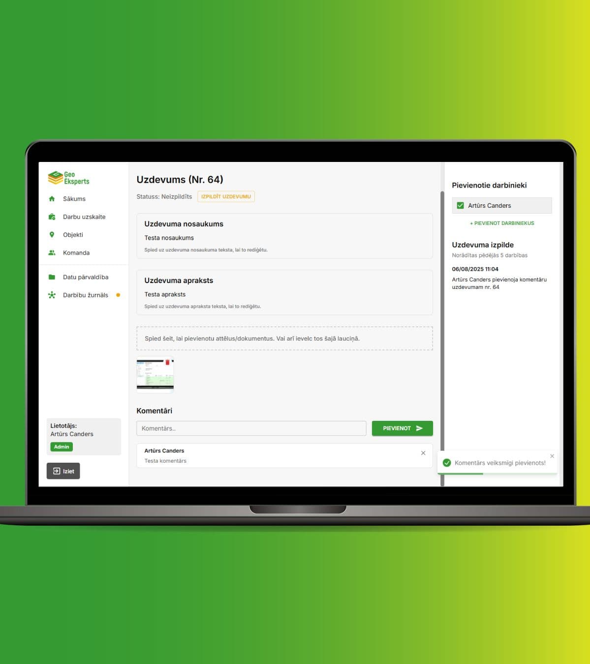
- Authentication and user role management system, referred to as the “Team” section
- Task planning and tracking with the ability to add comments, images/files, and duplicate previous work
- Entry, editing, and export of site and drill hole data in .DXF format, compatible with AutoCAD
- Automatic depth calculation and the ability to save layer structures for future use
- Automatic layer description generation using artificial intelligence
- Master data management - methods, equipment, tools, layer types, and properties
- Activity log for administrators to easily review user actions
- iOS and Android mobile app, optimized for use in field conditions